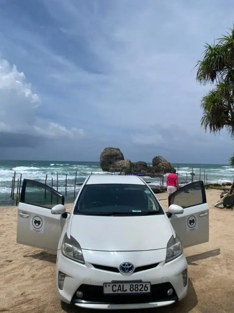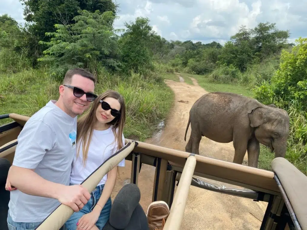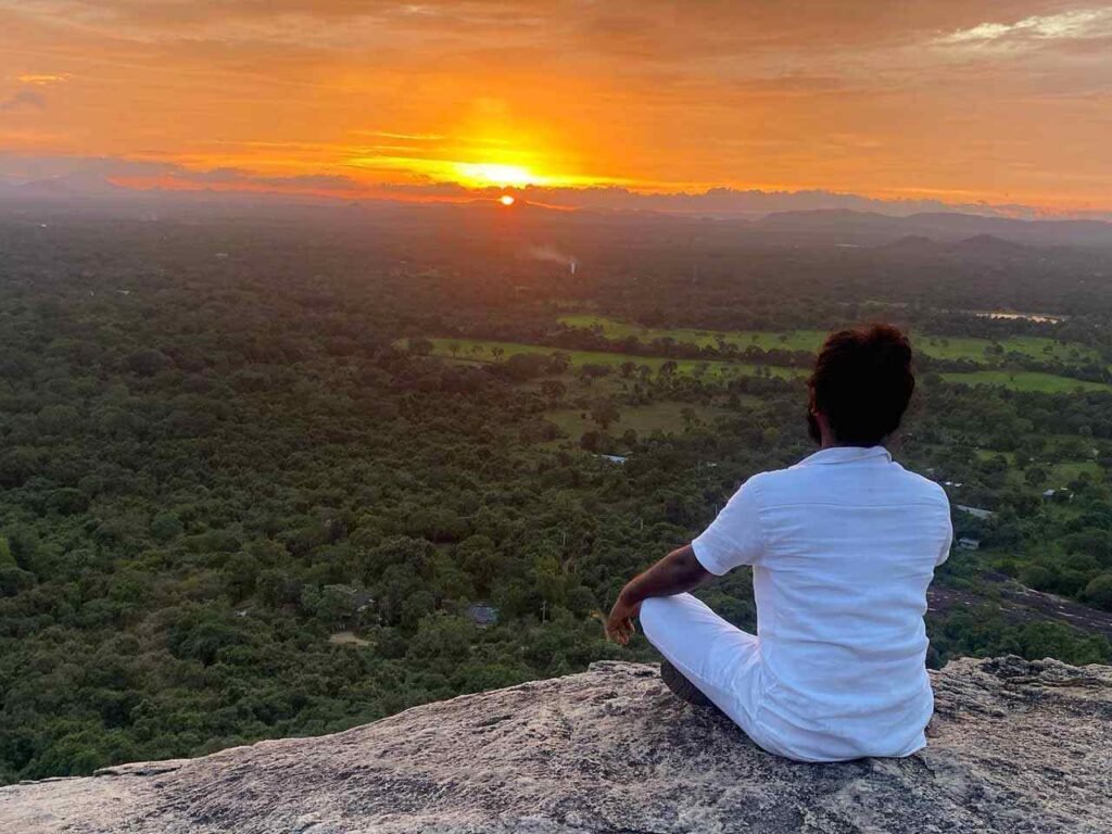

A Sri Lanka 2 week itinerary has 13 nights, and ours spends them as one loop: Anuradhapura 1, Sigiriya 3, Kandy 2, the hills 3, a safari night and 3 by the sea. The Department of Meteorology’s year has the north-east monsoon over December to February, and the south-west one over May to September (Department of Meteorology). So for 14 days in Sri Lanka, end the loop by the sea in the south-west for a December to March trip, or in the east for a May to September one. The road legs add up to 19.5 to 24 hours for the south-west version and 22 to 28.5 for the eastern ones.
Key takeaways
- Thirteen nights: one at Anuradhapura, three at Sigiriya, two in Kandy, one in Nuwara Eliya, two in Ella, one at Udawalawe and three by the sea. In the two main versions, days 1 to 9 don’t change.
- December to March, finish on the south-west coast around Weligama and Galle. May to September, finish at Arugam Bay, or swap in Trincomalee or Pasikudah after Sigiriya.
- October and November are wet on both coasts, so plan that fortnight around rain.
- Searching on 21 October 2026, we turned up no report of a through train between Kandy and Ella, so the route drives, with an optional train from Nanu Oya.
- The Central Cultural Fund’s three Triangle sites cost USD 95 for a foreign adult on its list of 14 October 2026; with the Tooth temple and the Dambulla caves, about USD 113.
Sri Lanka itinerary 14 days: the route at a glance
Our Sri Lanka round trip guide compares the two directions round the island and the shorter and longer routes.
We ran every leg through OpenStreetMap’s car router on 21 October 2026. Its times assume no traffic, so each one here is rounded up, and no range starts below the planner’s own figure.
| Day | Overnight | What you do | Road leg |
|---|---|---|---|
| 1 | Anuradhapura | Land and drive north | Leaving the airport: 3.5 to 4 hours, about 180 km |
| 2 | Sigiriya | The Sacred City in the morning | Onward: 2 to 2.5 hours, about 80 km |
| 3 | Sigiriya | The rock from 7am (CCF), Pidurangala later | No drive |
| 4 | Sigiriya | Polonnaruwa or a Minneriya jeep drive | Day trip only |
| 5 | Kandy | Dambulla’s caves on the way | From Sigiriya: 2.5 to 3 hours, about 90 km |
| 6 | Kandy | The Temple of the Tooth | No drive |
| 7 | Nuwara Eliya | Into the tea country | From Kandy: 2.5 to 3 hours, about 75 km |
| 8 | Ella | By road, or by train from Nanu Oya | From Nuwara Eliya: 2 to 3 hours, about 55 km |
| 9 | Ella | Walks from the town | No drive |
| 10 to 14 | A park, then the coast | Depends on the month | See the two versions below |
Hours in the car, version by version
| Version | Months | Road legs | In the car |
|---|---|---|---|
| South-west coast | Dec to Mar | 8 legs, about 850 km | 19.5 to 24 hours |
| Arugam Bay | May to Sep | 8 legs, about 975 km | 22 to 28 hours |
| Trincomalee | May to Sep | 8 legs, about 950 km | 22.5 to 28 hours |
| Pasikudah | May to Sep | 8 legs, about 990 km | 23 to 28.5 hours |
Day trips such as Polonnaruwa (2.5 to 3.5 hours there and back) and Galle Fort (about 1.5 to 2) come on top. We’d time every leg to arrive before dark.
The season switch: which coast for which month
The Met Department’s calendar has four seasons. Two of them are monsoons: May to September brings the south-west one, December to February the north-east. Two inter-monsoons sit between them, one in March and April and one in October and November (Department of Meteorology). The Department’s journal adds that the south-west monsoon soaks the south-western lowlands and the western side of the hills. In the north-east monsoon, rain falls mainly on the north and east (Department of Meteorology).
At three coastal stations, average rain a month and days with at least 1 mm look like this (WMO climate normals). Galle’s station lies 24 km west of Weligama as the crow flies, and Pottuvil’s 5 km north of Arugam Bay.
| Months | Galle | Pottuvil | Trincomalee |
|---|---|---|---|
| Dec to Feb | 71 to 176 mm, 6 to 11 days | 137 to 307 mm, 8 to 13 days | 96 to 339 mm, 5 to 15 days |
| Mar, Apr | 90 and 202 mm, 7 and 12 days | 61 and 68 mm, 5 days each | 55 and 48 mm, 4 days each |
| May to Sep | 162 to 316 mm, 14 to 17 days | 14 to 52 mm, 2 to 4 days | 26 to 113 mm, 2 to 6 days |
| Oct, Nov | 345 and 283 mm, 18 and 15 days | 135 and 308 mm, 9 and 15 days | 216 and 376 mm, 13 and 18 days |
Which coast, then? From December to March, take the south-west version: January to March are Galle’s three driest months. From May to September, go east: these are the months Sri Lanka Tourism recommends for the dry zone, naming Trincomalee and Arugam Bay (Sri Lanka Tourism). April falls between, and the eastern stations are drier then. In October and November all three average over 130 mm a month. More stations are in our Sri Lanka weather by month table; the 2026 outlook is in the Sri Lanka monsoon season guide. In the hills, Bandarawela, the station nearest Ella, has about 7 or 8 days of rain a month in June, July and August; Nuwara Eliya has 14 to 16 (WMO climate normals).

Days 1 to 4: Anuradhapura and Sigiriya
Days 1 and 2: Anuradhapura
UNESCO says the sacred city began around a cutting from the Buddha’s “tree of enlightenment”, carried there in the 3rd century BC. It flourished as a capital for 1,300 years before being abandoned after an invasion in 993 (UNESCO). Its hours on the Central Cultural Fund’s booking page are 7am to 5pm (CCF tickets). We’d go in at opening on day 2 and reach Sigiriya by mid-afternoon.
Day 3: Sigiriya rock
On top of and around the rock lie the ruins of King Kassapa I’s late 5th-century capital (UNESCO). The Central Cultural Fund reckons on roughly 1,200 steps and 1.5 to 2 hours of climbing, and calls early morning and late afternoon the cooler times (Central Cultural Fund). Keep Pidurangala, the rock just to the north, for the evening: Wikivoyage gives the walk up as 20 to 30 minutes (Wikivoyage).
Day 4: Polonnaruwa or Minneriya
Polonnaruwa took over as capital after Anuradhapura’s destruction in 993 (UNESCO), and it’s 75 to 105 minutes from Sigiriya each way (OpenStreetMap). From July to October, the region’s dry season, elephants come to the Minneriya reservoir. Love Sri Lanka’s best months are August and September, on an afternoon drive between 3pm and 6pm (Love Sri Lanka). The park is 25 to 35 minutes away (OpenStreetMap), close enough to pair with the ruins. Our Cultural Triangle guide compares the sites.
Days 5 and 6: Dambulla and Kandy
Stop at the Dambulla caves, 19 km by road from Sigiriya (OpenStreetMap); UNESCO counts five sanctuaries and 157 statues (UNESCO). Kandy, the last capital of the Sinhala kings (UNESCO), has the Temple of the Tooth. It holds three services daily, the evening one from 6.30pm to 8pm, and turns away shorts and sleeveless tops (Sri Dalada Maligawa). Day 6 covers the temple by daylight and the botanical gardens at Peradeniya, a suburb 5 km out (Wikivoyage).
Days 7 to 9: the hills, Nuwara Eliya and Ella
In Nuwara Eliya, Wikivoyage’s sights include Lake Gregory, less than a mile from the centre, and it names Nanu Oya, about 8 km away, as the nearest railway station (Wikivoyage). On day 8 the road to Ella usually takes 2 to 3 hours. The other way down starts with 10 to 15 minutes to Nanu Oya station (OpenStreetMap). Ride the train down to Ella while the car follows with the bags; that takes 2 to 3 road hours off your totals. Check that the train runs on your date and that seats are left before you plan on it.
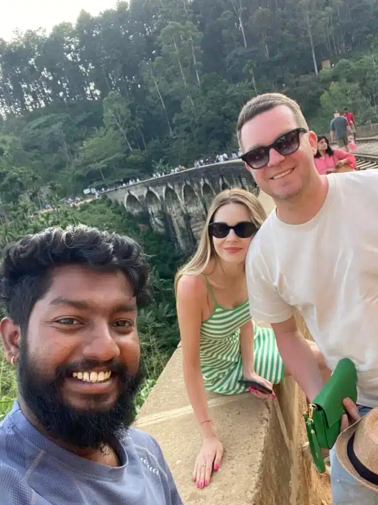
In Ella, Wikivoyage rates Little Adam’s Peak a relatively easy hike, east of the centre. By its reckoning the Nine Arch Bridge lies 45 minutes away on foot along the Passara road, with the peak another 5 km on from the bridge (Wikivoyage).
Kandy to Ella by train in 2026
Checking on 21 October 2026, we found nothing to say a single train now runs from Kandy to Ella. The Colombo Times of 2 October had trains between Peradeniya and Kandy still suspended for bridge work. Two stretches further up were still being repaired: between Gampola and Nawalapitiya, and from Hatton to the Nanu Oya end (Colombo Times). Trains from Nanu Oya down past Ella to Badulla came back on 20 June 2026 (Sunday Times). On 1 October, News 1st said the railway was planning a January return for Colombo to Kandy services (Newsfirst). In May, Sri Lanka Railways’ chief engineer was hoping to see the whole line to Badulla open by mid-2027 (Newsfirst). Both are plans, so this route drives out of Kandy. The railway’s FAQ allows reservations 30 days before the date of travel (reservation FAQ). Our Kandy to Ella train guide tracks each section’s status, the timetable from Nanu Oya and how hard seats were to find.
Days 10 to 14, December to March: Udawalawe and the south-west coast
| Day | Overnight | What you do | Road leg |
|---|---|---|---|
| 10 | Udawalawe | A late-afternoon jeep drive | From Ella: 2.5 to 3 hours, about 90 km |
| 11 | Weligama or Mirissa | Down to the coast | From Udawalawe: 2 to 2.5 hours, about 110 km |
| 12 | Weligama or Mirissa | A day at Galle Fort | Each way: 45 minutes to an hour, 28 km |
| 13 | Weligama or Mirissa | The beach, or an early whale boat | No drive |
| 14 | Fly home | Leave after breakfast | From Weligama: 2.5 to 3 hours, about 170 km |
Love Sri Lanka lists Udawalawe National Park as open 6am to 6pm and advises a dawn or late-evening start, the best time for spotting its elephants (Love Sri Lanka). Around 250 elephants are thought to be resident, according to Wikipedia (Wikipedia). Arrive by lunch for the late drive, or enter at opening. For Yala instead, Wikivoyage says guest houses and hotels in Tissamaharama can book you a jeep tour (Wikivoyage), and the Palatupana gate usually takes 2.5 to 3 hours from Ella. On 14 September 2026, dry weather led the wildlife department to close Yala’s Blocks 1 and 2 (Ada Derana). Ada Derana then reported on 13 October that they would open to visitors again on 16 October (Ada Derana). By 21 October, no Sri Lankan news report we could find confirmed that it had happened, so ask before booking.
UNESCO rates Galle, a 16th-century Portuguese foundation, as the best example of a city fortified by Europeans anywhere in South and South-East Asia (UNESCO). Love Sri Lanka’s surf map describes Weligama’s breaks as small ones aimed mainly at novices, with a season from the start of September through May (Love Sri Lanka). From Mirissa, whale boats leave by 6am in a season running November to April (Love Sri Lanka).
When we opened the Foreign Office page for Sri Lanka on 21 October 2026, its last update was dated 21 September. Its “Swimming safety” advice, which then points to the Royal Life Saving Society, reads (FCDO page): “Many beaches in Sri Lanka have dangerous surf or rip tides at certain times of the year. Get advice from your hotel or tour operator before going in the sea.”
May to September: Arugam Bay, Trincomalee or Pasikudah
| Day | Overnight | What you do | Road leg |
|---|---|---|---|
| 10 | Arugam Bay | Over the hills to the east coast | From Ella: 2.5 to 3.5 hours, about 130 km |
| 11 and 12 | Arugam Bay | The beach and the surf | No drive |
| 13 | Udawalawe | A late-afternoon jeep drive | From Arugam Bay: 3.5 to 4.5 hours, about 170 km |
| 14 | Fly home | An early start | From Udawalawe: 3.5 to 4.5 hours, about 195 km |
For Wikivoyage, the surf season at Arugam Bay is April to October, and the busiest months are July and August; most hotels and restaurants shut between November and March (Wikivoyage). The surf map on Love Sri Lanka is narrower: July until the close of September (Love Sri Lanka). The Arugam Bay guide on this site covers the bay, and the GOV.UK advice above applies here too. Why put the park last? From Arugam Bay, the airport is 6 to 7 hours away in one go (OpenStreetMap). Book an afternoon or evening flight home.
Trincomalee or Pasikudah instead of Arugam Bay
For snorkelling and shallow reef water instead of surf, put the three coast nights straight after Sigiriya, then carry on to Kandy, the hills and Udawalawe as before.
- Sigiriya to Trincomalee: 2.5 to 3 hours, about 100 km. Trincomalee to Kandy: 4 to 5 hours, about 175 km.
- Sigiriya to Pasikudah: 3 to 3.5 hours, about 125 km. Pasikudah to Kandy: 4 to 5 hours, about 190 km.
Wikivoyage recommends Trincomalee from April to September, when the water is clearest for snorkelling and diving. It adds that most of Pigeon Island’s coral reef had died by 2025 (Wikivoyage). Pasikudah, in Love Sri Lanka’s words, has gentle waves and a long, shallow reef coastline (Love Sri Lanka).
What the tickets cost for two weeks
Fixed prices only, for one foreign adult; rooms, the car and jeeps depend on your dates.
| What | Cost when we checked on 21 October 2026 | Where we read it |
|---|---|---|
| ETA (entry permit) | Since 25 May 2026, a 30-day ETA is issued without a fee if your passport is on a list of 40 countries (Britain, America and Australia are on it) | Official ETA site |
| Anuradhapura, Sigiriya, Polonnaruwa | USD 30, USD 35 and USD 30 on the fund’s list of 14 October 2026 | CCF prices |
| Kandy’s Temple of the Tooth | Most nationalities pay LKR 3,000 | Sri Dalada Maligawa |
| Rangiri Dambulla cave temple | Cash only: LKR 3,000, per Wikivoyage in September 2025 | Wikivoyage |
| Peradeniya gardens | LKR 3,540 a visit for a foreign adult | Botanic Gardens |
| Udawalawe, Minneriya or Yala | Each daytime visit: USD 25 (tourist season) or USD 20 (regular period), plus a USD 10 service charge per vehicle, and taxes | Gazette 2292/11 |
The three CCF sites, the Tooth temple and the caves add up to USD 95 and LKR 6,000, or about USD 113. That uses LKR 336 per US dollar, the rate printed on the same CCF list (CCF prices). The gardens and each park visit come on top. For day rates on a car and driver, see what it costs to hire a driver in Sri Lanka.
Questions about two weeks in Sri Lanka
Is 2 weeks enough for Sri Lanka?
Yes, for a single loop of the Cultural Triangle, Kandy, two hill towns, a park and one coast, with 19.5 to 28.5 hours of driving. It won’t stretch to the far north or to both coasts. With fewer days, our 10-day itinerary keeps culture, a safari and one coast in nine nights.
What is the best month for a 14 day Sri Lanka itinerary?
For the south-west version, January to March, when Galle’s monthly average is 71 to 90 mm on 6 or 7 rain days. For the east version, June to August, with 14 to 19 mm a month at Pottuvil (WMO climate normals).
Can you do two weeks in Sri Lanka by train?
Only in part. We found no Kandy to Ella through train when we searched on 21 October 2026, though Nanu Oya to Badulla has carried passengers since 20 June (Sunday Times).
Can I see both coasts in 14 days?
Not without cutting something. Arugam Bay to Weligama is about 255 km, or 4.5 to 5.5 hours on the route planner (OpenStreetMap), and each coast is driest in different months. Our 3-week itinerary has room for the north as well as two coasts: two nights at Trincomalee and four at Weligama.
Plan your fortnight with us
From our base in Weligama we plan private trips around the island, in your own car with a driver-guide. Tell us when you land and leave and which month you’re coming, and we’ll work out which version of the loop fits.
Fact check: every drive time is the route planner’s, rounded up; rain figures are the WMO’s 1991 to 2020 averages. We reread the ticket, rail, park and entry sources on 21 October 2026, while rail and park news was still moving, so recheck them before you pay.