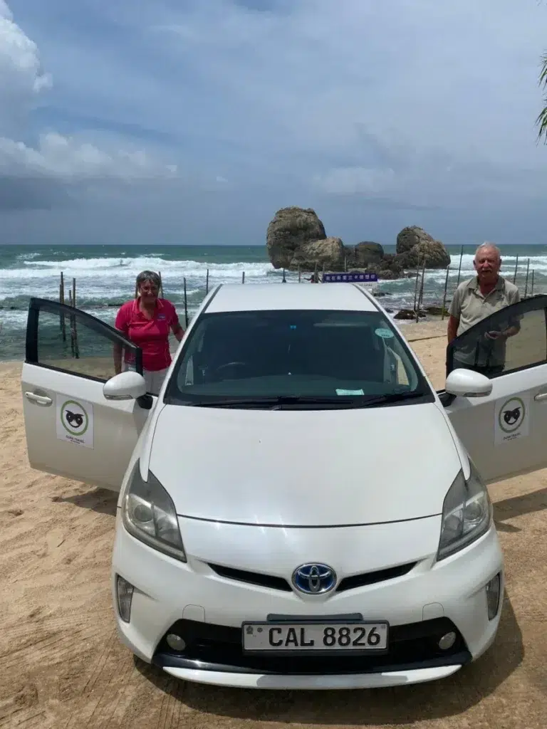
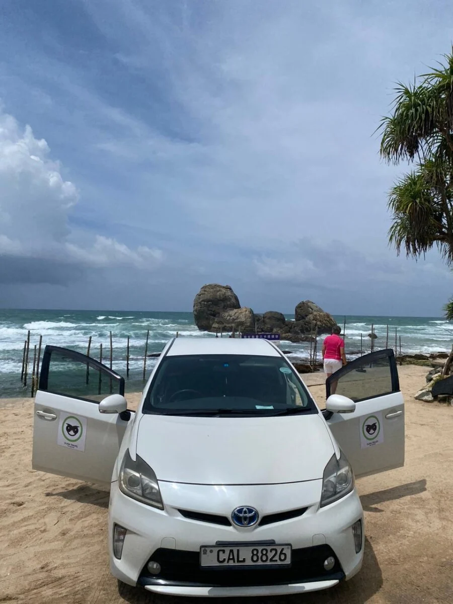
Weligama beach is a curve of sand on Sri Lanka’s south coast, about 4 km long as measured on OpenStreetMap (OpenStreetMap). Love Sri Lanka’s surf map says the waves are small and predictable and mainly suit beginners (Love Sri Lanka). January to March are the driest months at Galle, the nearest station with 30-year averages (WMO climate normals). On swimming, GOV.UK warns that many of the island’s beaches have dangerous surf or rip tides for part of the year. It says: “Get advice from your hotel or tour operator before going in the sea” (GOV.UK). Oura Travel is based in Weligama, and we arrange the drive here.
Key takeaways
- OpenStreetMap shows the sand as three adjoining stretches that measure about 4 km end to end, where Love Sri Lanka says 2 km. Taprobane, a private island, sits near the western end, and surf schools cluster in the middle.
- Love Sri Lanka’s surf map says the breaks mainly suit novices, in a season that often starts in September and lasts through May. Wikivoyage says November to April.
- On swimming, GOV.UK tells visitors to get advice from their hotel or tour operator before they enter the sea. Wikivoyage warns that the current here can be strong and unpredictable.
- At Galle, 24 km away, February is the driest month with 71 mm of rain and October the wettest with 345 mm.
- By road it’s usually 2.5 to 3 hours from Colombo’s airport, 45 minutes to an hour from Galle Fort and 10 to 15 minutes from Mirissa.
Where Weligama beach is, and how the bay is laid out
Weligama is a town in Matara District, and its name means “sandy village” (Wikipedia). The beach curves around a bay that opens to the south. OpenStreetMap draws the main arc of sand as three adjoining stretches, and names only the western one Weligama Beach (OpenStreetMap). On 5 October 2026 we measured each stretch end to end in a straight line: 1.4 km, 1.8 km and 0.8 km, about 4 km in all. Love Sri Lanka, by contrast, calls the bay a 2 km stretch (Love Sri Lanka).
The town is at the western end. So is Taprobane, a small wooded islet about 450 m from where the sand begins and roughly 950 m from the railway station in a straight line (OpenStreetMap). Love Sri Lanka also places it off the bay’s west coast, though the island’s own website says the centre (Love Sri Lanka; Taprobane Island). Two small boat harbours are mapped on the western shore, south of the islet (OpenStreetMap), and fishing is one of the town’s two main industries (Wikipedia).
Further east, the map marks a cluster of surf schools along the middle of the bay, between about 700 m and 1 km from the station in a straight line (OpenStreetMap).
At the eastern end the sand stops at the mouth of the Polwatta Ganga. Mirissa’s fisheries harbour is about 1.8 km south of that river mouth (OpenStreetMap).
Weligama surf: who the bay suits, and when
Love Sri Lanka’s surf map, published in 2022, says Weligama caters mainly to novices: the breaks are small and predictable, the sea bed is soft and the waves are gentle (Love Sri Lanka). Wikivoyage’s Sri Lanka page names it the best place for beginners (Wikivoyage).
Sources disagree on the season. The surf map has it often starting in early September and running through May (Love Sri Lanka). Love Sri Lanka’s 2020 page on the beach gives October to March (Love Sri Lanka), and Wikivoyage gives November to April for the southern and western coasts (Wikivoyage). Our guide to when to surf each coast sets those months against the weather.
Love Sri Lanka says surf schools line the beach, hire out boards and give lessons, and that most instructors are certified, without saying by whom (Love Sri Lanka). The only dated price we can cite is Wikivoyage’s from 2019: Rs 400 an hour or Rs 1,500 a day for a board (Wikivoyage). Ask what schools charge now: our guide to Weligama surf lessons compares ten schools’ listed prices.
Love Sri Lanka sends more experienced surfers to Midigama, which it puts a 10-minute drive away (Love Sri Lanka). Its Lazy Left, for example, is a reef break with an easy take-off and long walls, by Wikivoyage’s description (Wikivoyage), and our Sri Lanka surfing guide covers the other spots.
Can you swim at Weligama beach?
Wikivoyage’s page for the town, last edited in August 2025, says it is possible to swim here, though the water can be full of surfers in high season, beginners especially. It adds that the current “can be quite strong and unpredictable so swim with caution” (Wikivoyage).
GOV.UK’s travel advice for Sri Lanka was last updated on 21 September 2026. Under “Swimming safety” it says: “Many beaches in Sri Lanka have dangerous surf or rip tides at certain times of the year. Get advice from your hotel or tour operator before going in the sea.” It then refers readers to the Royal Life Saving Society’s page on water safety on holiday (GOV.UK).
We found two reports of tourists dying in the sea at Weligama in 2026, both from Ada Derana citing police. One man drowned on 25 February “while swimming off the coast of Pelena in Weligama”, and the report gives no cause beyond drowning (Ada Derana). The other went missing on 8 August while surfing at Parana Kade beach in Weligama, caught, police said, in a strong current in rough seas caused by strong winds. Police lifeguards, the Coast Guard and private divers searched without success, and the surfer was found dead the next morning (Ada Derana). Two reports are what we found, not a full record.
On 11 February 2026 Ada Derana reported a police statement that 71 lifeguard units had been set up nationwide. The report doesn’t list where they are. The police urged people to obey warning signs, take special care where red flags fly and seek help from police lifeguards whenever possible. They also said to avoid unfamiliar or unsafe places and not to enter the water after alcohol or drugs. Keep away from strong currents, rough rocks, submerged hazards, hidden pits and unstable stretches of coast, they said, and supervise children closely (Ada Derana).
The Sri Lanka Coast Guard said on 1 May 2026 that it runs 16 lifesaving posts on beaches popular with tourists (Sri Lanka Coast Guard). Its lifesaving page carries an undated map with 18 dots. When we looked on 5 October 2026, the dots nearest to Weligama were labelled Unawatuna and Mirissa, and none was labelled Weligama (lifesaving page).
None of that tells you whether a lifeguard is on duty at Weligama on the day you visit. Love Sri Lanka’s advice to families on the south coast is to always check whether the ocean is safe before swimming (Love Sri Lanka).
When to visit Weligama: the weather month by month
The WMO’s climate normals for 1991 to 2020 cover 20 Sri Lankan stations, and none is at Weligama (station list). Galle’s is the nearest, 24 km west of Weligama in a straight line by our measurement from the coordinates in its file. A day with rain means at least 1 mm.
| Month | Rain, mm | Days with rain | Mean high, C | What else to know |
|---|---|---|---|---|
| January | 87 | 7 | 29.9 | Inside every surf season quoted above (WMO climate normals) |
| February | 71 | 6 | 30.7 | The driest month of the year (WMO climate normals) |
| March | 90 | 7 | 31.6 | The hottest month. The first inter-monsoon begins (Department of Meteorology) |
| April | 202 | 12 | 31.4 | Rain more than doubles. Last month of the whale season off Mirissa (Love Sri Lanka) |
| May | 316 | 17 | 30.4 | The south-west monsoon begins (Department of Meteorology). Last month on the surf map |
| June | 184 | 17 | 29.4 | Outside every surf season quoted above (WMO climate normals) |
| July | 173 | 15 | 29.0 | South-west monsoon (Department of Meteorology) |
| August | 162 | 14 | 29.0 | The least rain since March, but still in the monsoon (WMO climate normals) |
| September | 261 | 17 | 29.2 | The surf map’s season starts (Love Sri Lanka) |
| October | 345 | 18 | 29.4 | The wettest month. The second inter-monsoon begins (Department of Meteorology) |
| November | 283 | 15 | 29.9 | Wikivoyage’s surf season starts, and so does the whale season (Love Sri Lanka) |
| December | 176 | 11 | 29.9 | The north-east monsoon begins (Department of Meteorology) |
January, February and March are the only months under 100 mm, each with 6 or 7 days of rain.
For trips in late 2026, GOV.UK’s update of 21 September reads: “Heavy rainfall during the inter-monsoon season has increased the risk of flooding and landslides across Sri Lanka. Disruption to transport and other services is possible. Check with your travel provider and follow the advice of local authorities” (GOV.UK).
Getting to Weligama
We ran each leg through the OpenStreetMap router on 5 October 2026. The router assumes empty roads, so every time below is rounded up. For the airport run in detail, with the taxi, bus and train options, see Colombo airport to Weligama.
| From | Road distance | Usual time by road |
|---|---|---|
| Bandaranaike airport, Katunayake | 171 km (route) | 2.5 to 3 hours |
| Colombo Fort | 142 km (route) | 2.5 to 3 hours |
| Galle Fort | 28 km (route) | 45 minutes to an hour |
| Mirissa | 5 km (route) | 10 to 15 minutes |
| Ella | 174 km (route) | 3.5 to 4.5 hours |
Our airport transfers page lists Mirissa and Weligama at 175 km and 2 hours 40 minutes, inside the range above. It also says the high-roof van takes surfboards up to 7 feet, laid flat.
By train
Weligama has its own station on the Coast Line. Sri Lanka Railways’ station list puts it 142.8 km from Colombo Fort, 29 km beyond Galle and 5 km short of Mirissa (Sri Lanka Railways). We can’t quote a timetable or confirm which trains are running, because on 5 October 2026 the railway’s own schedule page said it was temporarily unavailable during an upgrade (Sri Lanka Railways).
Wikivoyage’s undated Mirissa page gives 2.5 to 3.5 hours from Colombo Fort, depending on the train (Wikivoyage). GOV.UK’s advice for trains is to stay inside the carriage while it’s moving, after fatal accidents to visitors leaning out of doors and windows. It also says to watch your belongings, citing theft and pickpocketing (GOV.UK).
By bus
On the coast road between Colombo and Matara a bus passes every 20 minutes or sooner, day and night, by Wikivoyage’s undated listing (Wikivoyage). GOV.UK says public buses tend to be driven fast, seldom give way and are often badly maintained, which has led to serious crashes in recent years (GOV.UK).
Where to stay around the bay
We don’t name hotels here. Pick the part of the bay first.
| Part of the bay | What’s there | Who it suits, in our view |
|---|---|---|
| Town end, by the island | The railway station, the markets, the police station, the boat harbours and the view of Taprobane (OpenStreetMap) | Anyone arriving by train, or wanting the town on foot |
| Middle of the bay | The mapped cluster of surf schools, 700 m to 1 km east of the station (OpenStreetMap) | Beginners who want to walk to a lesson |
| Eastern end | The river mouth and a second station, Polwathumodara, 3.4 km down the line (Sri Lanka Railways) | People with an early whale boat to catch at Mirissa |
| Midigama, outside the bay | 5 km west (route), usually 10 to 15 minutes | Surfers who’ve outgrown the beach break |
Other beaches near Weligama
| Beach | From Weligama | What the sources say |
|---|---|---|
| Jungle Beach | About 3 km from the centre, towards Midigama | A hidden beach where you’re often alone (Wikivoyage) |
| Midigama | 5 km west | Breaks for more experienced surfers, Lazy Left among them (Love Sri Lanka) |
| Mirissa | 5 km east | A busy town that is still growing. Its beach has two surf points, one for intermediates and one for advanced surfers (Wikivoyage) |
| Turtle Bay | At Mirissa | A snorkelling spot with very damaged coral, plenty of fish and the odd turtle (Wikivoyage) |
Things to do in Weligama and nearby
These are the short versions. Our list of things to do in Weligama has 14 ideas with map distances, and day trips from Weligama sorts the longer outings by the drive.
See Taprobane Island from the sand
Taprobane’s own website calls it a privately owned island of two and a half acres. It says the house was built in the 1920s by the self-styled Count de Mauny-Talvande and has five bedrooms (Taprobane Island). The map tags the islet as private (OpenStreetMap). Unless you’re staying there, we’d treat it as a view.
Find the Kushtarajagala carving
About 700 m west of the island (OpenStreetMap), a figure 3 m high is carved into a rock. Wikipedia identifies it as the Bodhisattva Avalokitesvara and dates it to between the 6th and 9th centuries. Locally it’s the Kusta Raja Gala, the Rock of the Leper King (Wikipedia).
Watch the stilt fishermen
Weligama is known for fishermen who sit on a crossbar fixed to a single pole, a few metres out in chest-deep water, and cast past the surf for small fish (Wikipedia). Love Sri Lanka suggests sunset for photographs (Love Sri Lanka). Ask before you photograph anyone.
Snorkel at Devil Rock or Mirissa
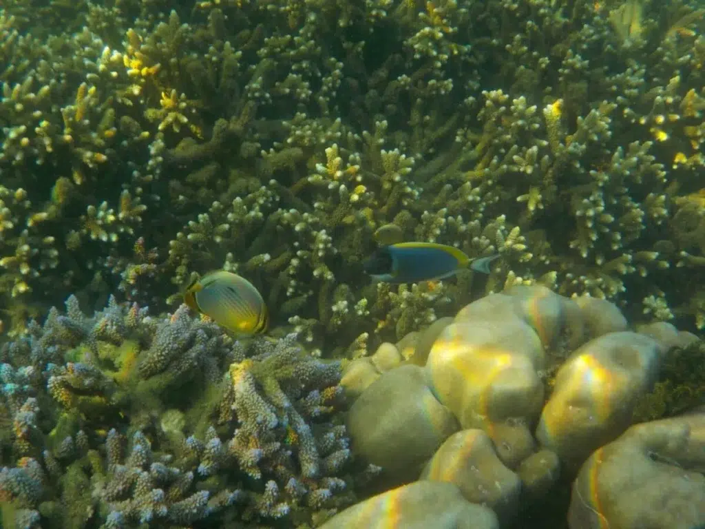
For snorkelling, Love Sri Lanka points to Devil Rock, an islet off Ahangama beach to the west, where coral-covered rocks form a causeway (Love Sri Lanka). Our Snorkling Excursion page describes a trip that leaves your hotel in the morning and combines snorkelling at Mirissa with Coconut Tree Hill and the stilt fishermen at Koggala. See the page for the current price.
Go whale watching from Mirissa
The whale boats leave from Mirissa harbour, 6 km by road (OpenStreetMap). Love Sri Lanka’s whale page puts the season at November to April and says nothing can be guaranteed even then (Love Sri Lanka). Our Mirissa whale watching guide compares what operators charge and explains the rules for boats.
Spend half a day in Galle Fort
Galle Fort is 28 km west. The Portuguese built the first fort there in 1588, the Dutch fortified it from 1649, and it’s now a UNESCO World Heritage Site (Wikipedia).
Cook lunch in a family home
We run a cooking class in a family home in Weligama. It’s a hands-on lesson with local cooks, and lunch is what you’ve made. Our Weligama cooking class page gives the length, what’s included and how to book.
Evenings
Nights here wind down early, and our Weligama nightlife guide lists the bars, the party nights along the coast and the dry days.
Questions about Weligama beach
Is Weligama beach safe for swimming?
No official source we found says so. GOV.UK’s advice is to consult your hotel or tour operator first, because surf or rip tides make many beaches dangerous for part of the year (GOV.UK). Wikivoyage warns of a strong, unpredictable current here (Wikivoyage). Ada Derana, citing police, reported a swimmer’s death off Pelena on 25 February 2026 (Ada Derana) and a surfer’s at Parana Kade beach on 8 August (Ada Derana).
When is the Weligama surf season?
Often September through May, according to Love Sri Lanka (surf map). Wikivoyage gives November to April for the south coast (Wikivoyage). Within those months, January to March are the driest at Galle (WMO climate normals).
How many nights does Weligama need?
We’d allow three nights. That leaves two full days: one for a surf lesson and the bay, one for the whale boats at Mirissa or a half day in Galle Fort, 28 km west (route).
Can you walk to Taprobane Island?
Sources differ. Love Sri Lanka says a spit of land joins the island to the shore at low tide, and that you need a boat at high tide and in the off season (Love Sri Lanka). The island’s website quotes a magazine calling it reachable only by wading through the sea (Taprobane Island). It’s privately owned either way, so check with the island before planning to go ashore.
Weligama or Mirissa: which should you choose?
They’re 5 km apart by road (route), so you can sleep here and still spend a day at Mirissa beach, or the reverse. For learning to surf, Love Sri Lanka points to Weligama: it rates the waves here for novices and says the bigger breaks at Mirissa call for skill and confidence (Love Sri Lanka). Mirissa has the whale boats and, by Wikivoyage’s account, bars around its beach (Wikivoyage).
Plan your Weligama stay with a driver
We work from Weligama, and what we arrange is a private car with a driver-guide. Our private car page says a driver has around ten hours off between driving days, so itineraries are built to finish in the evening. Message us with your dates, where you’re arriving from and how many boards you’re bringing, and we’ll suggest a route and a pick-up time.
We read every source linked here on 5 October 2026 and measured the map the same day. Sea conditions, lifeguard cover, train times and prices all change, so check them again in the week you travel.