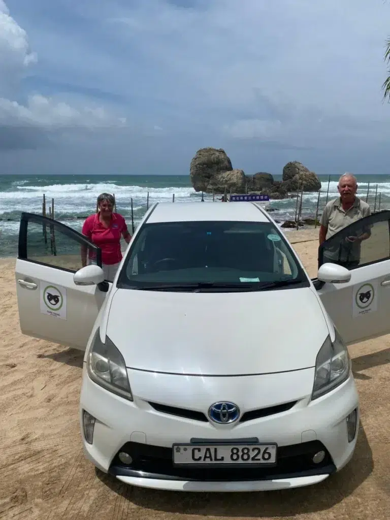
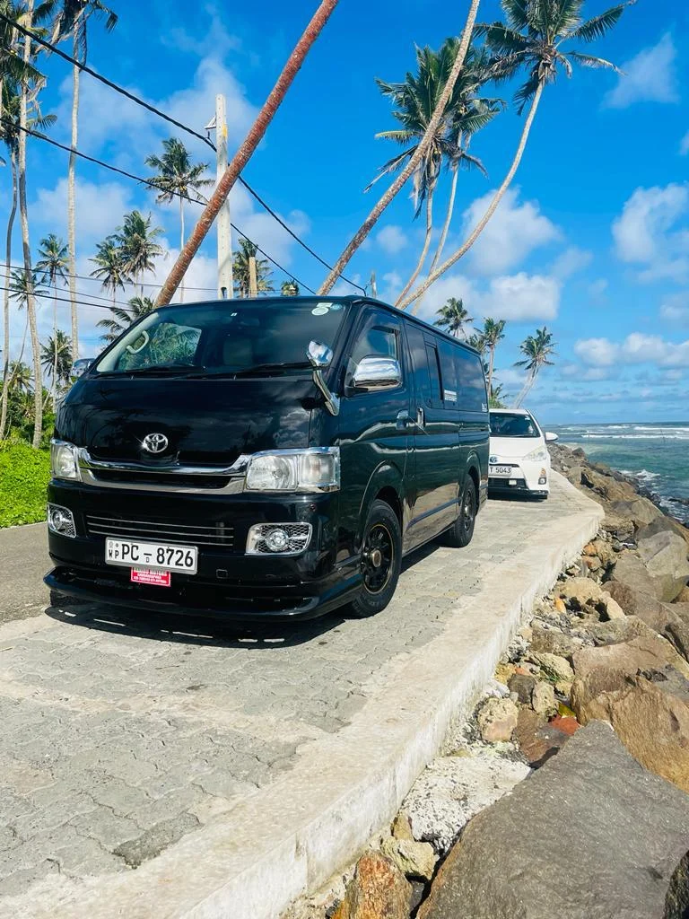
Arugam Bay Sri Lanka is a small surf town on the island’s south-east coast, built along one road beside the beach, 4 km south of the market town of Pottuvil. Wikivoyage puts its season at April to October, with the waves and the crowds peaking in July and August, and says the town largely closes between November and March (Wikivoyage). Getting there means a long drive, usually 6 to 7 hours from Colombo’s airport (OpenStreetMap). We arrange that crossing from our office in Weligama. If you don’t surf, the draws are Kumana National Park, the lagoon at Pottuvil and the cave monastery at Kudumbigala.
Key takeaways
- Surf season runs from April to October by Wikivoyage’s months, and Love Sri Lanka’s map shortens it to July, August and September. Most of the town shuts from November to March.
- June is the driest month at Pottuvil, with about 14 mm of rain. November and December each bring more than 300 mm.
- There’s no railway. The drive usually takes 6 to 7 hours from Colombo’s airport, 4.5 to 5.5 from Weligama or Mirissa and 2.5 to 3 from Ella.
- Away from the surf there are 8 places worth a trip, from Pottuvil lagoon 4 km north to Kumana National Park 45 km south.
- Ask locally before you swim. GOV.UK warns of rip tides on many beaches, and the Coast Guard’s map marks none of its own lifesaving posts at Arugam Bay. Keep out of the lagoons.
When to visit Arugam Bay, month by month
The season’s edges depend on who you read. Wikivoyage’s April to October is the widest version. The narrowest is Love Sri Lanka’s surf map, which starts the season in July and ends it with September (surf map), while its Arugam Bay page says April to September (Love Sri Lanka).
The table shows Pottuvil’s 1991 to 2020 averages, as it’s the nearest weather station (WMO climate normals). A wet day means 1 mm of rain or more, and the high is the average daily maximum.
| Month | Rain (mm) | Wet days | High (C) | What to expect |
|---|---|---|---|---|
| January | 263 | 10 | 29.9 | Off season. With luck, Baby Point still works in January and February (Love Sri Lanka) |
| February | 137 | 8 | 30.6 | About half January’s rain. The best months for Kumana National Park begin (Love Sri Lanka) |
| March | 61 | 5 | 32.0 | Before the season, though there can be good waves and few people (Wikivoyage) |
| April | 68 | 5 | 33.1 | The season opens on Wikivoyage’s count. Migrating birds start to arrive at Kumana (Love Sri Lanka) |
| May | 48 | 4 | 34.5 | In season and getting hotter (WMO climate normals) |
| June | 14 | 2 | 35.0 | The driest and hottest month. Pottuvil Point is at its best late in June (Love Sri Lanka) |
| July | 17 | 2 | 34.3 | Peak waves and peak crowds (Wikivoyage) |
| August | 19 | 3 | 34.2 | The second peak month, and the best one for Baby Point (Love Sri Lanka) |
| September | 52 | 4 | 33.8 | Still in season on every count, and the last month on the narrowest one (surf map) |
| October | 135 | 9 | 32.4 | The tail end: some good waves still, and far fewer people (Wikivoyage) |
| November | 308 | 15 | 30.9 | The wettest month. The town has mostly closed (Wikivoyage) |
| December | 307 | 13 | 29.9 | Off season. Panama Tank’s best months run from December to March (Love Sri Lanka) |
What stays open from November to March
Not much in town. Surfable waves don’t form in the wet season, Wikivoyage says, and most hotels and restaurants close until the end of March (Wikivoyage).
The wildlife keeps a different calendar. Love Sri Lanka lists Kumana National Park as open throughout the year (Love Sri Lanka). Yet on 27 November 2025 the wildlife department announced that rain was temporarily closing Kumana, among other parks, to tourists (Ada Derana). Love Sri Lanka also counts January to March among the good months for Lahugala Kitulana National Park (Love Sri Lanka). A winter visit can work for birds and elephants if you confirm that the park and your room are open, and can live with the rain.
For waves in those months, Wikivoyage’s season for the south and west coasts is November to April (Wikivoyage), so the month you travel decides which coast you surf.
Sri Lanka surf season 2026: Arugam Bay from June to September
Arugam Bay’s season runs from April to October on Wikivoyage’s count (Wikivoyage), so for Sri Lanka surfing in 2026, June to September meant the east coast. The dated reports below, read on 4 October 2026, show what was particular to the 2026 surf season.
We found no official surf tourism figures for Sri Lanka in 2026. SLTDA’s monthly table counts arrivals for the whole country: 124,551 in June, 196,845 in July and 191,704 in August (SLTDA). Those numbers say nothing about one town.
June 2026
Surfing in Sri Lanka in June means the east coast, and at Pottuvil June is the year’s driest month (WMO climate normals).
Since 25 May 2026 the 30-day ETA has been free for passport holders from 40 countries, and the list includes the UK, Australia and the United States. Everyone still has to apply before travelling (official ETA site).
July 2026
On 10 July the gates of Kumana National Park opened for the Pada Yatra, the foot pilgrimage to Kataragama, and pilgrims set off from Okanda Devalaya (Hiru News). According to the army, the route stayed open until 24 July (Sri Lanka Army). If you’re choosing a wave for this month, our July surf post sorts the breaks by level.
August 2026
On 2 August The Morning reported that Rs 173 million had been allocated to develop a site called Arugam Bay Sunset View, part of plans to increase tourism in Ampara district (The Morning). It gave no completion date.
September 2026
The national surfing federation’s 2026 championship was announced for Main Point on 10 to 12 September (federation event page), and we found no published results when we checked. Newswire reported on 2 September that the wildlife department had temporarily closed campsites in Kumana because of severe drought (Newswire).
Getting to Arugam Bay from Colombo, Ella and the south coast
There’s no railway station in the area, and the nearest airport, as of 2025, is at Batticaloa, 2.5 hours north by car (Wikivoyage). OpenStreetMap’s router supplied the distances below, and because it assumes empty roads we’ve rounded each time up.
| Starting point | Road distance | Usual driving time |
|---|---|---|
| Bandaranaike airport, Katunayake | 340 km (route) | 6 to 7 hours |
| Kandy | 213 km (route) | 4.5 to 5.5 hours |
| Ella | 132 km (route) | 2.5 to 3 hours |
| Weligama | 257 km (route) | 4.5 to 5.5 hours |
| Mirissa | 254 km (route) | 4.5 to 5.5 hours |
| Tissamaharama, for Yala | 152 km (route) | 3 to 3.5 hours |
| Batticaloa | 112 km (route) | 2.5 to 3 hours |
Our airport transfers page lists the Arugam Bay run as 320 km and 6 hours 30 minutes. That time sits inside the range above, though the router’s route is 20 km longer. The same page says surfboards up to 7 feet lie flat inside a high-roof van.
The road from Monaragala crosses Lahugala Kitulana National Park, known for its elephants (Love Sri Lanka). GOV.UK says road accidents are frequent in Sri Lanka, particularly at night (GOV.UK). We’d time the drive to finish in daylight.
By bus
Buses from Colombo are frequent but usually stop in Pottuvil, 4 km short. From Ella, Wikivoyage’s route is a morning bus to Wellawaya, then the 98-1 or 98-4 to Pottuvil, which takes about 3.5 hours. Towards the south coast it lists one bus a day from Pottuvil to Matara, taking 7 to 8 hours (Wikivoyage). Those listings aren’t dated, so ask at your guesthouse the day before. GOV.UK’s view of public buses is that they are often driven fast and poorly maintained, with serious accidents in recent years (GOV.UK).
By train in 2026
Several guides suggest a train to Ella and a car from there. In early October 2026 you couldn’t ride through to Ella from Kandy or Colombo. The Colombo Times of 2 October listed two stretches beyond Gampola as under restoration, and Nanu Oya to Badulla, which passes Ella, as running normally (Colombo Times). The Sunday Times of 4 October describes cheers from passengers and villagers as the service returned to Gampola and Peradeniya on 2 October. By its account, the transport minister said trains towards Kandy end at Peradeniya because work on a Mahaweli bridge is unfinished (Sunday Times). Sri Lanka Railways is the place to confirm what’s running before a rail day.
Where to stay in Arugam Bay
| Area | Where it is | What you get |
|---|---|---|
| Main beach and Panama Road | The town itself | Rooms, restaurants, bars, surf schools and yoga studios along one road. The bay’s own two breaks, Main Point and Baby Point, are here, and so is the high-season nightlife (Wikivoyage) |
| The points to the north | Pottuvil is 4 km up the road. Whisky Point and Pottuvil Point are about 20 minutes away by tuk-tuk (Love Sri Lanka) | Pottuvil is where the buses stop, and it has the only air-conditioned supermarket and nearly all the pharmacies (Wikivoyage) |
| The Panama side | Heading south, Elephant Rock comes first at 4 km (Love Sri Lanka), then Panama at about 12 km (Love Sri Lanka) | Smaller, quieter stops, such as Peanut Farm Beach, on the road that ends at Kumana (Wikivoyage) |
Love Sri Lanka grades both northern points for experienced surfers (Love Sri Lanka), and Wikivoyage’s note on Whisky Point reads “out of action since 2019” (Wikivoyage). So before you choose the north for its waves, ask in town, and check each break against your level in our Arugam Bay surf guide.
Wikivoyage counts roughly 70 places to stay, most of them simple cabanas, with about 120 air-conditioned rooms between them (Wikivoyage). Average highs at Pottuvil stay above 34C from May to August (WMO climate normals), so we’d reserve one of those rooms early for July or August.
Things to do in Arugam Bay besides surfing
These are the 8 outings we’d look at, roughly nearest first.
| Place | From Arugam Bay | What it is |
|---|---|---|
| Pottuvil lagoon | 4 km north | A boat or canoe trip of 2 to 2.5 hours past mangroves, with crocodiles on the banks and elephants in the evening (Love Sri Lanka) |
| Muhudu Maha Viharaya | On the dunes at Pottuvil | A Buddhist temple with over 2,000 years of history, whose white stupa can be seen from Arugam Bay’s beach (Love Sri Lanka) |
| Elephant Rock | 4 km south | A rock and beach with no road access: a tuk-tuk, a walk, a scramble and sometimes a wade (Love Sri Lanka) |
| Panama Tank | About 12 km south, 20 minutes | The tank beside Panama village, where dozens of crocodiles lie about. Keep your distance (Love Sri Lanka) |
| Lahugala and Magul Maha Viharaya | The temple is 11 km from Pottuvil (Love Sri Lanka) | A small national park with many elephants (Love Sri Lanka), and temple ruins linked to the 2nd century BC |
| Kudumbigala Monastery | 22 km south (Wikivoyage) | A cave monastery dating to 246 BC, with more than 200 caves and Sri Lanka’s only cylindrical stupa (Love Sri Lanka) |
| Okanda Devalaya | 30 km south (Wikivoyage) | A shrine sacred to Hindus and Buddhists, busiest in June or July with Pada Yatra pilgrims (Love Sri Lanka) |
| Kumana National Park | 45 km south (Wikivoyage) | A national park known for its birds, visited by jeep (see below) |
Four of the eight are places of worship. GOV.UK’s rule for Buddhist temples is shoulders and legs covered, with hats and shoes left off (GOV.UK).
Kumana National Park
More than 255 bird species have been recorded in Kumana, and tens of thousands of birds arrive at its swamp between April and July (Love Sri Lanka).
On a Wikivoyage listing last updated in August 2024, jeep trips sold in town leave between 5am and 6am or at 1pm. They last 6 hours, about 4.5 of them inside the park (Wikivoyage). Wikivoyage gives the drive as 45 minutes and Love Sri Lanka as an hour and a half, so plan on the slower figure. Campers should check first: under the temporary closure reported on 2 September 2026, new reservations were suspended until further notice (Newswire).
Food, drink and cash
Restaurants line the beach and the main road, and Wikivoyage’s tip is to check that the fish on display is that day’s. Shops in Arugam Bay charge more than Pottuvil’s, so do any big shop in Pottuvil (Wikivoyage). GOV.UK says alcohol isn’t usually available on religious holidays (GOV.UK), and Wikivoyage counts every full moon day as dry.
Carry rupees. Seylan Bank installed Arugam Bay’s first cash machine in 2013, and until then the nearest were in Pottuvil (Daily FT). We found nothing newer. GOV.UK notes that not all of Sri Lanka’s cash machines accept international cards (GOV.UK). It also calls bank card fraud common and suggests choosing a machine inside a bank or hotel (GOV.UK). The prices we could find for boards, tuk-tuks, jeeps and dorm beds are listed in our Arugam Bay surf guide.
Staying safe: the sea, wildlife and security
GOV.UK’s Sri Lanka advice was last updated on 21 September 2026. It says surf and rip tides make many beaches dangerous in some seasons, so check with wherever you’re staying, or your tour operator, before a swim (GOV.UK).
Ask about lifeguards too. The Sri Lanka Coast Guard’s map of its own lifesaving posts is undated. On 4 October 2026 it marked none at Arugam Bay, and the nearest on the east coast were at Pasikudah (Sri Lanka Coast Guard). The police run a separate service, 71 lifeguard units nationwide by their count in February 2026, and tell swimmers to obey warning signs and red flags (Ada Derana). We found no published list of those units, so we can’t say whether one covers the bay.
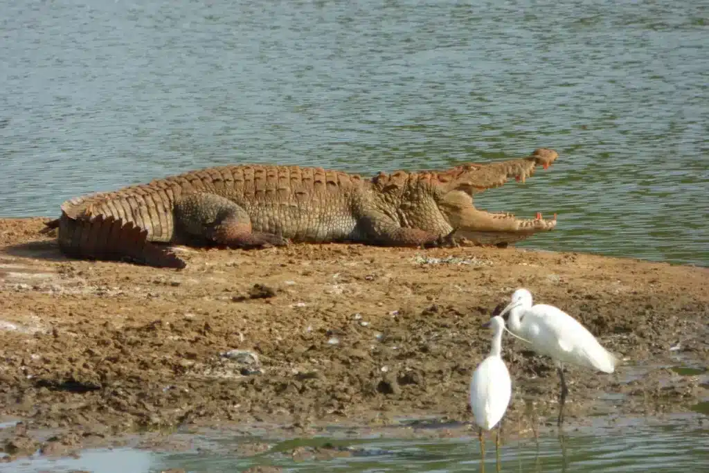
Keep out of the lagoons. Locals advise against swimming in the one behind Elephant Rock (Love Sri Lanka), and GOV.UK warns that crocodiles and wild elephants do sometimes attack people (GOV.UK).
On security, GOV.UK says terrorist attacks in Sri Lanka can’t be ruled out and could happen at beaches, hotels and tourist sites (GOV.UK). That advice doesn’t name Arugam Bay. The town did have an alert on 23 October 2024. The US embassy said it had credible information warning of an attack on popular tourist locations there, a threat directed at Israeli visitors (The Guardian). The embassy lifted its travel restrictions on 13 November 2024, while telling US citizens to stay vigilant (Ada Derana).
GOV.UK adds that parts of eastern Sri Lanka still have marked minefields, mainly at former military and police sites, and advises keeping to roads and cleared footpaths (GOV.UK). It names no places.
Where Arugam Bay fits in a longer route
Ella is the natural stop before or after. At 132 km, a night in Ella leaves a morning’s drive of 2.5 to 3 hours to the beach.
Yala looks close on a map, but the coast road stops at Kumana (Wikivoyage). Cars go inland instead, 152 km to Tissamaharama, the town where Yala tours are sold (Wikivoyage). Dry weather closed Blocks 1 and 2 of Yala from 14 September 2026, a closure announced to last until 15 October (Ada Derana). Check its status before you add it.
Our own Safari Excursion is a private jeep safari in Udawalawe or Yala, with early-morning pickup from your hotel. It doesn’t go to Kumana, and the page has the current price.
Questions about Arugam Bay Sri Lanka
When is the surf season in Arugam Bay?
April to October, according to Wikivoyage, with the best waves and the biggest crowds in July and August (Wikivoyage). Love Sri Lanka’s map narrows that to July, August and September (surf map). By Wikivoyage’s months, then, the Sri Lanka surf season in 2026, as in any year, is here from June to September and on the south and west coasts from November to April (Wikivoyage).
Is Arugam Bay worth visiting in September or October?
September, yes: it’s inside the season on every source we’ve cited, and Pottuvil averages only 4 wet days. October is a gamble. Wikivoyage expects some good waves and few people, but the Pottuvil averages (WMO climate normals) show rain rising to 135 mm, spread over 9 wet days. For October 2026, GOV.UK’s update of 21 September adds that heavy rain has raised the risk of floods and landslides around the country (GOV.UK).
How long should you stay in Arugam Bay?
We’d allow three nights if you don’t surf. A Kumana jeep trip takes 6 hours (Wikivoyage) and a lagoon trip 2 to 2.5 (Love Sri Lanka), so two full days cover the main outings.
Is Arugam Bay safe?
GOV.UK’s advice, last updated on 21 September 2026, doesn’t mention Arugam Bay. It says terrorist attacks in Sri Lanka can’t be ruled out, tourist sites and beaches included, and warns of rip tides on many beaches (GOV.UK). A US embassy alert about the bay, issued on 23 October 2024 (The Guardian), was lifted on 13 November 2024 (Ada Derana). Before you swim, ask your guesthouse where it’s safe and whether a lifeguard is on duty.
Book the Arugam Bay crossing with a driver
A car and driver takes you there from the airport, the south coast or Ella. That page says each driver gets about ten hours’ rest between driving days, so we’d plan the crossing to finish by early evening. Surf lessons, board hire and Kumana jeeps are things to arrange in town once you arrive. Send us your dates and the number and length of any boards, and we’ll suggest a route.
We ran a fact check on the season months, weather averages, drive times, closures and travel advice against the linked pages on 4 October 2026. Park closures, train services and visa rules moved during 2026, so look again close to your trip.