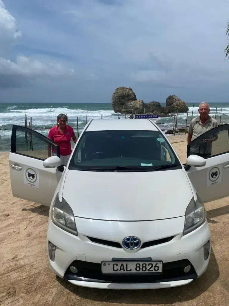
Unawatuna beach is a curved bay of sand in a resort town on Sri Lanka’s south coast (Wikivoyage). By road it is 6 km from Galle Fort (route), 22 km from Weligama (route) and 158 km from Colombo’s airport (route). Sri Lanka Tourism gives December to February as the south-west coast’s months of calm seas and clear skies (Sri Lanka Tourism), and Galle’s rain is lowest from January to March (WMO climate normals). GOV.UK warns that surf or rip tides make many Sri Lankan beaches dangerous at certain times of year, and advises checking with a hotel or tour operator ahead of any swim (GOV.UK). Oura Travel works from Weligama, further along this coast.
Key takeaways
- The bay is 6 km by road from Galle Fort, and its mapped sand measures about 1.3 km along the shore.
- Love Sri Lanka, the tourism bureau’s site, said in March 2024 that a reef “creates a secure environment for swimming” here. A swimmer died that June, likely dragged to sea by rip currents, police said.
- GOV.UK says many Sri Lankan beaches are dangerous at certain times of year because of surf or rip tides, and tells visitors to ask a hotel or tour operator first.
- Sand was pumped ashore from March 2015 after a breakwater built in 2012 caused heavy erosion, the Sunday Times reported.
- January, February and March each average under 100 mm of rain at Galle. October is the wettest month.
Where is Unawatuna beach, and how is the bay laid out?
Unawatuna is a coastal town in Galle District, a suburb of Galle about five kilometres south-east of the city centre (Wikipedia).
OpenStreetMap draws a single beach named Unawatuna (OpenStreetMap). On 13 October 2026 we measured its outline: about 970 m in a straight line between the two ends, and about 1.3 km following the curve. The Sunday Times called it 1.5 km long in April 2015 (Sunday Times).
At the western tip the map marks the Welle Devalaya temple, within about 100 m of the end of the sand (OpenStreetMap). North-west of it is Rumassala, the headland between the bay and Galle (OpenStreetMap). The Japanese Peace Pagoda stands there, about 1.1 km from the nearest sand in a straight line (OpenStreetMap). Some 300 m beyond it is the cove the map calls White Jungle beach, which Wikivoyage lists as Jungle Beach (OpenStreetMap; Wikivoyage).
East of the bay the sand resumes after about 650 m at Delawella Beach, the map’s spelling of Dalawella (OpenStreetMap). Dewata beach lies north of Rumassala, on the Galle side (OpenStreetMap). So does Bonavista: a Sunday Times report from December 2024 puts the Bona Vista coral reef in the same area as Dewata (Sunday Times).
How the 2004 tsunami and a breakwater reshaped the sand
The 2004 tsunami, by Wikipedia’s account, swept away many beachfront restaurants and devastated the beach (Wikipedia).
In 2012 the Coast Conservation Department built a breakwater nearly 1 km long to counter the damage. By April 2015, the Sunday Times reported, it had altered the waves and caused heavy erosion, and the department had begun pumping sand ashore. It planned to spend Rs 870 million on the sand and Rs 37 million on remodelling the breakwater (Sunday Times).
A coastal engineering abstract from a 2025 congress says the nourishment and the breakwater’s removal were completed in March 2015. Ten years on, it adds, the bay still held up to 65 to 70% of the added sand (IAHR). The two accounts differ on the breakwater: the newspaper reported a plan to remodel it, and the abstract says it was removed.
Can you swim at Unawatuna beach?
Love Sri Lanka, the tourism promotion bureau’s site, said in a March 2024 beach guide that a natural coral reef “creates a secure environment for swimming” here (Love Sri Lanka). Its older page for families, from 2019, says the bay makes the beach “much safer to swim in”. The same page adds that “the waves in certain spots along the beach may be a little rough”, and that “no beach is 100% safe all year round” (Love Sri Lanka).
The Daily Mirror reported on 26 June 2024 that a foreign national had died the evening before “while swimming in the sea off the Unawatuna beach”, citing police. Habaraduwa Police said he was “likely dragged to sea by the rip currents in the area”. He was rescued by lifesavers, the report said, and died on admission to hospital (Daily Mirror).
The Sri Lanka Coast Guard said that on 5 August 2023 lifesavers from its Unawatuna Lifesaving Post rescued a man bathing at the beach. He had, it said, “suddenly started drowning due to sea currents” (Sri Lanka Coast Guard). These are examples from our searches, not a complete record.
GOV.UK’s Sri Lanka advice carries 21 September 2026 as the date of its latest update, and showed as still current on 13 October. Its “Swimming safety” advice is two sentences: “Many beaches in Sri Lanka have dangerous surf or rip tides at certain times of the year. Get advice from your hotel or tour operator before going in the sea.” A link to the Royal Life Saving Society’s “water safety on holiday” page follows (GOV.UK).
In a statement dated 1 May 2026 the Coast Guard counted 16 lifesaving posts on beaches that draw tourists, without naming them (Sri Lanka Coast Guard). An undated map on the agency’s lifesaving page marks 18 dots, one labelled Unawatuna (lifesaving page). The latest dated Coast Guard report we found of its Unawatuna post is the one from August 2023. Nothing we found gives the post’s hours or the days it is staffed.
When to visit Unawatuna: rain, seasons and the sea
Galle has the closest weather station with 30-year averages, 4.4 km from the beach in a straight line by our measurement. The Department of Meteorology divides the year into four seasons (Department of Meteorology). The rain column gives the lowest and highest monthly averages in each season, from the 1991 to 2020 normals.
| Season | Rain at Galle, mm a month | Sri Lanka Tourism’s description |
|---|---|---|
| North-east monsoon, December to February | 71 to 176 (WMO) | The south-west coast’s peak season: clear skies, calm seas (Sri Lanka Tourism) |
| First inter-monsoon, March and April | 90 to 202 (WMO) | Afternoon thunderstorms, warm and humid (Sri Lanka Tourism) |
| South-west monsoon, May to September | 162 to 316 (WMO) | Heavy rainfall on the south-west coast and hills (Sri Lanka Tourism) |
| Second inter-monsoon, October and November | 283 to 345 (WMO) | Occasional heavy showers, and seas that can be rough (Sri Lanka Tourism) |
Only January, February and March average under 100 mm, on 6 or 7 rain days each. October is the wettest month, with 345 mm over 18 days, and May is next with 316 mm (WMO climate normals).
The usual shorthand for this coast is November to April, the months when Love Sri Lanka’s whale page says the sea off Mirissa is at its calmest (Love Sri Lanka). Its 2024 beach guide narrows that to December to March (Love Sri Lanka), and the rain agrees: November averages 283 mm and April 202 mm.
The Weligama beach guide prints the same station’s figures month by month, and Sri Lanka in January covers the rest of the island in that month.
Things to do in Unawatuna
Jungle Beach, Rumassala and the Peace Pagoda
Love Sri Lanka says the pagoda was built in 2005 with the help of Japanese Buddhist monks, one of four such pagodas in Sri Lanka. A walkway around the white stupa looks over the jungle, the sea and Galle Fort, and visitors must cover legs and shoulders (Love Sri Lanka).
By the map’s walking router the pagoda is 2.2 km from the bay, about half an hour (route). Wikivoyage calls Jungle Beach the best place in the area for snorkelling, reached by boat, by tuk-tuk or on foot along the track past the pagoda (Wikivoyage).
Snorkelling and diving
The map draws a reef about 330 m off the main beach (OpenStreetMap). The Central Cultural Fund’s shipwreck database records the Lord Nelson, an iron motor vessel sunk in 1996, in 3 to 6 m of water on a shallow reef called Goda Gala (National Shipwreck Database).
Below is what three dive centres’ own pages or listings said on 13 October 2026. They are listings, not our judgement: the list is incomplete, and nobody is ranked or recommended.
| Dive centre | Season on its page | What the page lists |
|---|---|---|
| Divinguru Unawatuna, on its PADI listing | 15 October to 10 April, 8am to 7pm | Reef, rock, wreck, deep and night dives at 16 sites, 6 to 32 m deep |
| Pearl Divers | November to April | Courses, scuba diving, snorkelling and boat trips |
| Sea Horse Divers | None given on its home page | Reef, wreck, night and introductory dives, with snorkelling equipment for hire |
Our Snorkling Excursion goes to Mirissa, not Unawatuna. Its page describes a morning departure from your hotel, snorkelling there, Coconut Tree Hill and, at Koggala, stilt fishing. It carries the current price.

Turtle hatcheries
A survey in the Indian Ocean Turtle Newsletter covered all seven hatcheries then operating in Galle District, in 2010 and 2011. All were private businesses run mainly for profit from tourism. All bought eggs collected from nesting beaches, reburied them and kept hatchlings in tanks. None let hatchlings crawl straight to the sea, though the IUCN guidelines it cites say at least 90% should (Indian Ocean Turtle Newsletter).
The Pearl Protectors, a volunteer marine conservation group, wrote in July 2026 that tank rearing has no demonstrated conservation benefit. It wants licensing and independent inspection, and allows that a few genuine operations exist (The Pearl Protectors). Our Galle day tour, described below, stops at a turtle hatchery, so weigh that criticism against our tour too.
Can you surf at Unawatuna?
Sometimes. Love Sri Lanka’s 2019 page on solo surfing calls Unawatuna Bay a great place to learn but says the swell along the beach “isn’t consistently great” (Love Sri Lanka). The one surf spot the map names is at Dewata (OpenStreetMap), 3 km by road from the bay (route).
The Sunday Times described Dewata in December 2024 as about a kilometre of beach with a row of surf schools, and its waves as among the most surfer-friendly in the south for beginners. The same report covered a port plan that would reclaim 40 hectares there, so check its status before planning around Dewata (Sunday Times).
Wikivoyage gives November to April as the surf season for the south and west coasts (Wikivoyage), and our guide to which coast to surf in which month compares the coasts.
Day trips from Unawatuna
Galle Fort
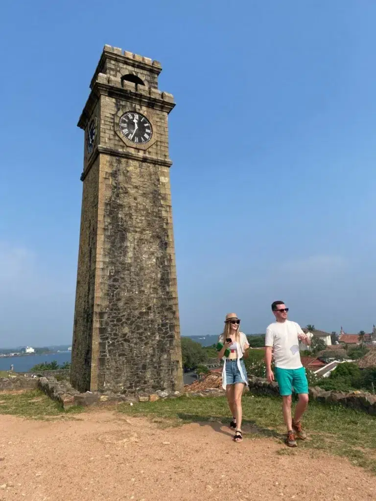
The fort is 6 km away, usually 15 to 20 minutes by road (route). UNESCO dates Galle’s founding by the Portuguese to the 16th century. No fortified city built by Europeans in South or South-East Asia is a better example, its listing says (UNESCO). Our guide to cooking classes in Galle says which ones cook seafood or shop at the fish market.
The Madu River
At Balapitiya the Madu River widens into a lake (Wikipedia). Boat safaris start there, 49 km up the coast and usually 1 to 1.5 hours by road (route).
Our Galle day tour goes there. Its page describes a morning pick-up from your hotel, a Madu River boat safari with fish therapy, a turtle hatchery and Galle Fort, and gives the current price.
Whales from Mirissa
Whale boats leave from Mirissa harbour, 28 km east and usually 45 minutes to an hour away (route). Our Mirissa whale watching guide has the season, the operators and the rules, and the Mirissa beach guide covers the town.
Getting to Unawatuna
On 13 October 2026 we put each leg below through OpenStreetMap’s route planner. It assumes clear roads, so we have rounded every time up.
| Leg | By road | Usual driving time |
|---|---|---|
| Galle Fort to Unawatuna | 6 km (route) | 15 to 20 minutes |
| Weligama to Unawatuna | 22 km (route) | 30 to 45 minutes |
| Colombo Fort to Unawatuna | 122 km (route) | 2 to 2.5 hours |
| Unawatuna to the airport | 158 km (route) | 2.5 to 3 hours |
| Udawalawe to Unawatuna | 131 km (route) | 2 to 2.5 hours |
| Ella to Unawatuna | About 200 km (route) | 3.5 to 4 hours |
Our airport transfers page lists Galle, with Unawatuna, at 145 km and 2 hours 15 minutes. The router’s route from the bay is 158 km and takes 2 hours 14 minutes with no traffic, so we’d budget 2.5 to 3 hours to reach a flight.
By train
Unawatuna has a station of its own on the Coast Line, between Katugoda and Talpe. Sri Lanka Railways’ station list puts it 119.5 km from Colombo Fort and 5.6 km beyond Galle (Sri Lanka Railways, archived copy). From the platform it’s 1.7 km on foot to the bay (route). The railway’s website did not load on 13 October 2026, so the link is the Internet Archive’s copy of 23 July 2026, and we quote no train times.
By bus and tuk-tuk
The National Transport Commission’s fare table, in force since 6 July 2026, sets the Colombo to Galle bus at Rs 496, or Rs 970 air-conditioned (National Transport Commission). The expressway bus between Galle and the Makumbura Multimodal Centre at Kottawa is Rs 930 (National Transport Commission; Makumbura Multimodal Centre). Wikivoyage’s undated listing has buses from Galle passing Unawatuna every 10 to 15 minutes (Wikivoyage).
For tuk-tuks, Wikivoyage’s advice is to settle the fare, the destination and the timing with the driver before you set off (Wikivoyage).
GOV.UK’s Sri Lanka advice has safety guidance on buses, trains, taxis, tuk-tuks and the roads: read it before you choose (GOV.UK).
Where to stay in Unawatuna, by area
Wikivoyage says guesthouses on the beach cost the most and get cheaper as you move inland (Wikivoyage).
| Area | What the map and Wikivoyage show | Who we think it suits |
|---|---|---|
| Western half of the beach | The temple on the point, and Jungle Beach road towards Rumassala (OpenStreetMap) | Walkers heading for the pagoda and Jungle Beach |
| Eastern half of the beach | Three of the five dive centres or dive shops mapped beside the sand (OpenStreetMap) | Divers |
| Yaddehimulla, behind the sand | The original village, on a road about a kilometre long, with guest houses and homestays (Wikivoyage) | Longer stays on a smaller budget |
| Dalawella and Talpe | Delawella and Wijaya beaches, east of the bay (OpenStreetMap). Talpe has its own station (Sri Lanka Railways, archived copy) | A base away from the main beach, with a tuk-tuk ride into the bay |
Questions about Unawatuna beach
Is Unawatuna beach safe for swimming?
Sources differ. Love Sri Lanka’s 2019 page says the bay makes the beach “much safer to swim in”, and also that “no beach is 100% safe all year round” (Love Sri Lanka). A swimmer died here in June 2024, and police said rip currents had likely dragged him to sea (Daily Mirror). GOV.UK says surf or rip tides make many of the island’s beaches dangerous at certain times of year, and that you should ask a hotel or tour operator before going in (GOV.UK).
When is the best time to visit Unawatuna?
The least rain at Galle falls from January to March (WMO climate normals). Sri Lanka Tourism names December to February as peak season on this coast, with calm seas (Sri Lanka Tourism).
How many days do you need in Unawatuna?
We’d allow two nights: one full day for the bay and Rumassala, and half a day for Galle Fort. A day at the Madu River or a morning on the whale boats needs a third.
Plan Unawatuna with a driver from Weligama
Our office is in Weligama, 22 km along the coast, and what we arrange is private: airport transfers, day excursions and longer journeys with a car and driver-guide. For a plan built around Unawatuna, send us your dates and where you’ll be staying.
We read each linked source and measured the map on 13 October 2026. Sea conditions, lifesaving cover, fares and the port plan at Dewata can all change, so look at them again close to your trip.